Trail stops
Twenty‑six stops, mile by mile.
Every official trailhead from Machens to Clinton, with what’s actually there: water, restrooms, camping, the food and wineries within riding distance, and the 360° capture where we have it. East to west, the way the mile markers run.
26
trailheads
free parking at all

Machens
The true eastern terminus

St. Charles
Frontier Park, eastern gateway

Greens Bottom
River bottom farmland

Weldon Spring
Under the Weldon Spring bluffs

Matson
Klondike Park nearby

Augusta
Missouri wine country

Dutzow
Amtrak Washington, 5 mi by road

Marthasville
Daniel Boone's last country

Treloar
Peers store country

McKittrick
Hermann across the Hwy 19 bridge

Portland
Old river landing

Mokane
Frost-free spigot, year round

Tebbetts
Hostel in the old MFA building

North Jefferson
Jefferson City over the river bridge

Hartsburg
Soybean bottoms, Dotty's and Hitt's

McBaine
MKT spur to Columbia joins here

Rocheport
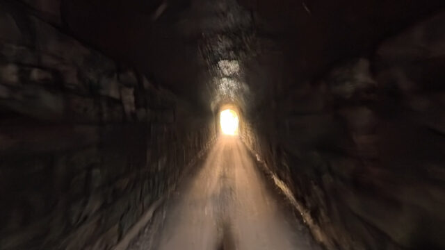
The tunnel, the bluffs, Meriwether Cafe

New Franklin
Head of the Santa Fe Trail

Boonville
Katy bridge and the Boonslick

Pilot Grove
Out of the river valley

Clifton City
Wide-open prairie miles

Sedalia
1896 Katy Depot, state fair town

Green Ridge
High prairie, exposed

Windsor
Rock Island Spur junction

Calhoun
Last stop before Clinton

Clinton
Western terminus, MM 264.6
Trailheads and amenities from the Missouri State Parks trail‑services list. Nearby places refresh nightly from Google Places. Satellite imagery: Esri, Maxar, Earthstar Geographics.