History
A railroad, a river, an expedition.
The Missouri‑Kansas‑Texas Railroad took its nickname from its stock ticker, K‑T, and the Katy stuck for a century. Its Missouri River line threaded the narrow ground between the bluffs and the water, which is exactly why the trail feels the way it does today: the railroad did the hard work of finding the flat line through a valley that hasn’t got much of it.
You are riding a right of way that survived a flood, a bankruptcy, and the end of an era, and got railbanked into a state park instead of sold off in pieces.
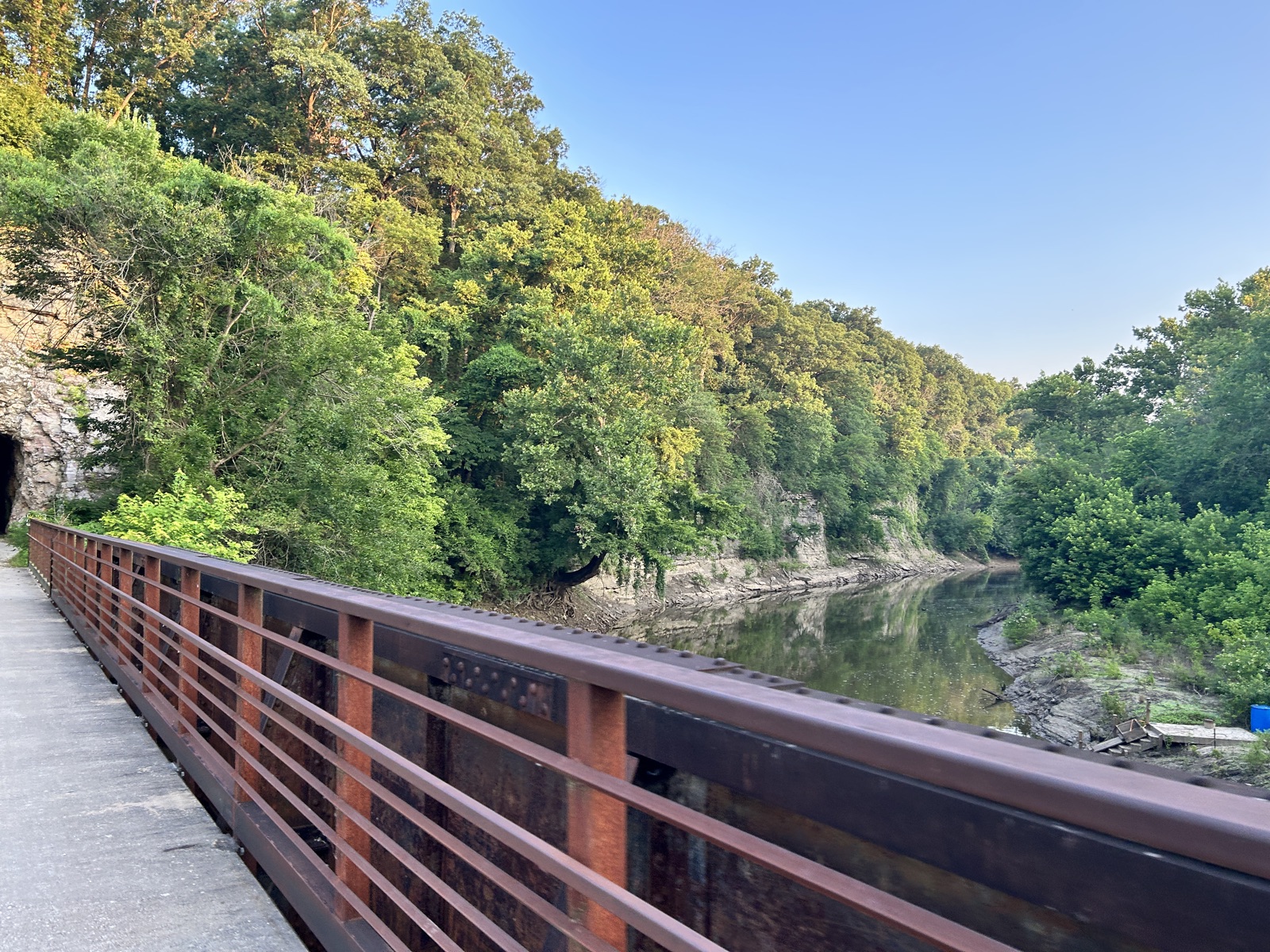
The trail crosses Moniteau Creek on the railroad’s own steel, under the bluffs the Katy’s surveyors chose in the 1890s.
June 1804
The Corps of Discovery comes up the valley
Lewis and Clark work upstream through this reach of the Missouri. At the mouth of Moniteau Creek, Clark records pictographs on the limestone bluff.
Early 1890s
The MKT builds the river line
The Missouri-Kansas-Texas threads its Missouri River line between the bluffs and the water. The nickname comes from the stock ticker, K-T.
1893
The Rocheport tunnel
Cut through rock at mile 178.9, the only tunnel on the line. It still carries the date over the portal.
1986
The last train
Floods had battered the river line for decades. After high water in 1986 the Katy runs its last train through the valley.
Late 1980s
Railbanked, not sold off
Under the National Trails System Act’s railbanking provision, and with a landmark gift from Ted and Pat Jones, the state acquires the right of way instead of letting it be sold in pieces. The park’s own 35th Anniversary wayside panel tells this chapter, and you can read it here.
1990
The first section opens
Katy Trail State Park opens at Rocheport, the same bluffs and tunnel that draw riders today.
The 1990s
West to Clinton, east toward St. Charles
Extensions through the decade stitch the corridor together across the state.
2011
East to Machens
The final eastern addition brings the trail to about 240 miles, the longest developed rail-trail in the country.
Today
Hall of Fame, and a national historic trail
Inducted into the Rails-to-Trails Conservancy Hall of Fame, and an official segment of the Lewis and Clark National Historic Trail.
July 2026
Thirty-six miles in 360
Terrain360 rides Rocheport to North Jefferson with a mast-mounted 360 camera and publishes 1,167 scenes, funded end to end with no cost to any partner.
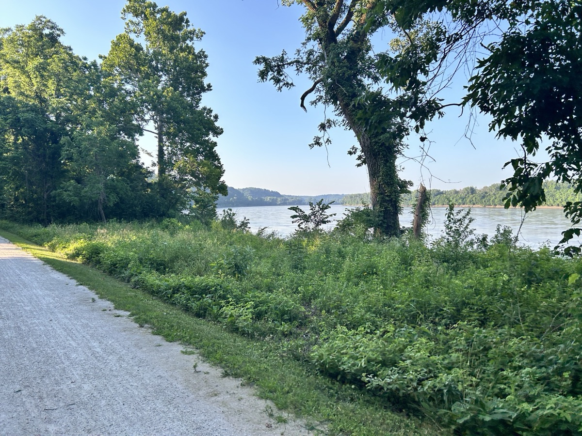
Mile 169.5, near McBaine
The same water the Corps of Discovery poled up in June 1804.
Lewis and Clark country
A riding‑pace retracement of the 1804 route.
For most of its length the trail runs the north bank of the Missouri. The Corps of Discovery worked upstream through this reach in early June 1804, rowing and poling against the current the trail now parallels at twelve unhurried miles an hour. At the mouth of Moniteau Creek by Rocheport, Clark recorded pictographs on the limestone, images already ancient when he saw them.
The Katy is an official segment of the Lewis and Clark National Historic Trail, and the interpretation gets richer the farther west you ride into Boonslick country, where the salt springs, Arrow Rock, and the river towns carry the story forward.
Land route and water route
Terrain360 has captured the Missouri River itself by boat, end to end, for the National Park Service. The Katy capture puts the land route beside the water route: one valley, both ways the expedition would have seen it.
The Katy Trail 360 projectThe trail keeps growing
At Windsor, mile 248, the Katy meets the Rock Island.
The Rock Island Spur is another rescued rail corridor, running 47 miles northeast from Windsor toward Pleasant Hill and Kansas City. Work continues on the broader Rock Island line, and the long‑term map is hard to look away from: a loop of connected rail‑trails crossing Missouri twice, about 450 miles of it.
That is part of why we are capturing the Katy now, one section at a time, starting with the 36 miles between Rocheport and Jefferson City. Capture follows construction: we don’t promise trail that isn’t built yet.
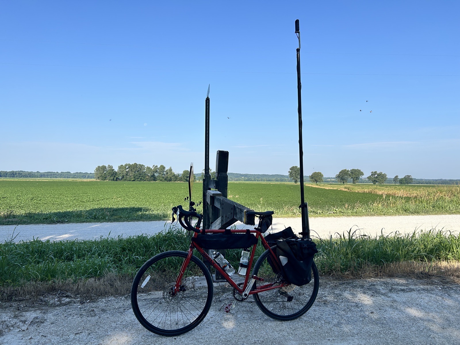
July 2026
One bicycle, one mast‑mounted 360 rig, one morning. No motor and no vehicles on trail, which is what Missouri State Parks asked for.